
Measuring agricultural land in Karnataka is important. It helps people know the exact size of their property, which is helpful when purchasing, selling, or splitting up the land. It also helps in planning farming activities and paying the appropriate taxes.
Land in Karnataka is commonly measured in acres, hectares and guntas. Knowing these land measurements makes the land deals legal and easy. Accurate land measurements also avoid fights between the landowners.
In this blog, you will learn how to measure agricultural land in Karnataka step-by-step, simply and clearly.
Understanding Land Measurement Units in Karnataka
Both traditional and modern units are used to measure agricultural land in Karnataka. The three most widely used traditional units are Bigha, Acre, and Guntha.
The government currently keeps land records in standard metric units like square meters and hectares.
These units support accurate records. Farmers, buyers, and sellers can all benefit from knowing how to convert these units, especially when learning how to measure farm land size in Karnataka
Land Conversion Table:
| Unit | Equals to |
| 1 Guntha | 1,089 sq. ft |
| 1 Acre | 40 Guntas or 43,560 sq. ft |
| 1 Hectare | 2.47 Acres |
| 1 Acre | 4,046.86 sq. meters |
| 1 Hectare | 10,000 sq. meters |
Official Methods to Measure Agricultural Land
A. Through Land Records (RTC – Record of Rights, Tenancy, and Crops)
RTC means Record of Rights, Tenancy Crops and Details regarding land ownership size and crops grown are provided in this official document.
You can check your RTC online on the Bhoomi portal
To access it:
- Go to Bhoomi’s website.
- Select View RTC and MR.
- Input your survey number, village, taluka, and district.
- You will see information about the land such as the type, size and owner’s name.
- Using the survey number that was given in the RTC, you can confirm the land size.
This helps in verifying the accuracy of the land size and gives you a clear idea of how to measure farm land size in Karnataka.
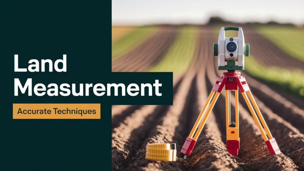
B. Using Survey and Measurement Techniques
- Using the traditional methods for measuring small areas, you can use measuring tapes or chains. Calculate the area of uneven terrain using the trapezoidal rule or the triangle formula.
- Or you can use the modern approach through the use of satellite signals, which GPS devices provide precise measurements.
- Or you can also use drones to measure large areas. The land area is known by taking aerial photos.
Step-by-step guide to measure agricultural land in Karnataka also includes using both modern tools and RTC records to improve accuracy. It promotes improved land planning and helps avoid conflicts.
C. Hiring a Licensed Surveyor
If you are worried about how to measure agricultural land in Karnataka, then, for precise land measurement, it is best to work with a licensed surveyor. A certified surveyor has received government approval and training. They understand the proper use of official instruments and procedures for measuring land.
You can go to the Survey Settlement and Land Records (SSLR) department or your local Taluk office to hire a surveyor.
Their reports are used in legal matters such as land disputes, sales, purchases and loan applications.
They make use of modern tools like total station machines and GPS. An official land measurement report, complete with maps and area details, is provided to you after the survey.
This report serves as documentation of the size of your land and can be used in government or court settings.
Digital Tools for Land Measurement
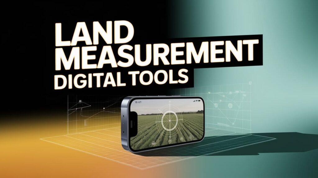
Today, measuring land is made simple by some digital tools. How to measure farm land size in Karnataka is a common question, and it can be done easily with mobile apps like Bhuvan, NHP, GeoArea and Measure Map that use the GPS on your phone.
These apps are easy to use and useful for landowners or small farmers who need fast estimates. You can also use Google Earth, where you can draw the border on your property and then zoom in to measure the size of the land.
For in-depth mapping and analysis experts use GIS (Geographic Information System) tools. For official surveys the Karnataka government also uses digital tools like total station machines and e-Survey.
These are used for land record updates and provide incredibly accurate results. While digital applications are useful for simple tasks, their accuracy may be limited.
Legal Aspects of Land Measurement in Karnataka

In Karnataka, land measurement is not only for farming or selling but also has legal importance. Step-by-step guide to measure agricultural land in Karnataka is helpful because the 9/12 extract or RTC (Record of Rights, Tenancy, and Crops) is the main legal document that shows land ownership, size, and type.
A property sketch also helps in clearly defining the land’s shape and boundaries. Once the land has been measured you need to update the government records with the new information. This is known as the mutation process.
It modifies the land records to reflect the correct area and current owner. You can file a complaint with the local tahsildar or go to court if there is disagreement over the size or boundary of the land.
Common Mistakes & How to Avoid Them
Many people measure their land incorrectly, which can lead to major issues later. Here are a few common mistakes:-
- Depending solely on regional terminology, such as Kuncham, Marla or Bigha, which can differ everywhere.
- Not verifying or comparing the land details with those found in official RTC records.
- Ignoring boundary conflicts before purchasing property.
- Not obtaining a valid survey report from a certified official.
- Using only mobile apps without obtaining legal confirmation understanding online land measurement methods in Karnataka.
How to avoid these mistakes:-
When buying or selling land, always consult official records, get a licensed surveyor and resolve any boundary disputes.
Conclusion
In Karnataka measuring agricultural land is important for legal work farming purchasing and selling. Step-by-step guide to measure agricultural land in Karnataka can help you follow the correct method. Using both modern tools and official land records is the most effective method.
Always review your property sketch and RTC (9/12 extract) before making any land decisions. Verify the survey number and view land details online using the Bhoomi portal.
Hiring a licensed surveyor is a good idea if the land is large or unclear in order to get an accurate report. Additionally for a quick idea you can use mobile apps and tools like Google Earth Bhuvan NHP or Measure Map or you can also consult at Mytan Farms for expert advice and avoid relying solely on local units or rumors.
Ultimately obtaining accurate measurements of the land and verifying everything with legal documents will provide you peace of mind and prevent future issues. For trusted support and guidance, you can always reach out to us at mytan farms!